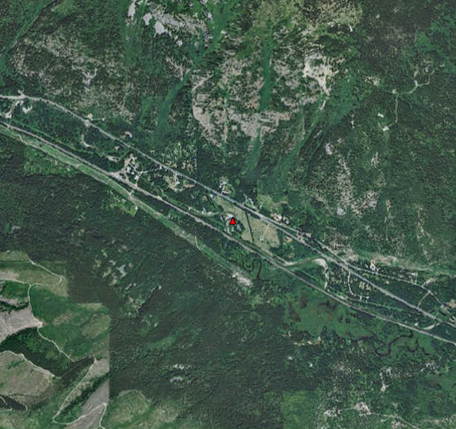
A Reach Assessment (RA) of the Lower White Pine Reach (LWP) of Nason Creek, Chelan County, WA was completed in 2009 by the USBR. The RA examines the condition of fluvial geomorphic processes and the effect on salmonid habitat, and identifies priority restoration strategies and areas. The effort presented in this document builds on the work completed in the RA by identifying more specific project opportunities within portions of the reach. These project opportunities conform to the restoration strategies and priority areas presented in the RA. They are also intended to be compatible with potential future reconnection scenarios being considered for currently disconnected areas south of the railroad corridor. However, because the specific configuration of future reconnection has not yet been finalized, some of the project opportunities presented herein may need to be modified to conform appropriately to the final reconnection scenario.
In the RA, the LWP reach was spatially divided into inner zone and outer zone sub-reaches, and restoration priorities were presented for the LWP as a whole and for each sub-reach. The spatial organization and restoration principles of the RA are guiding concepts behind the completion of the inner zone project identification effort presented here.
This document presents conceptual level project identification within inner zone sub-reaches, and areas with potential for inner zone processes within the LWP. Sub-reaches south of the railroad corridor were specifically omitted from the identification process because restoration of these areas is currently being investigated by the USBR. By focusing on inner zone sub-reaches, some of the higher priority activities identified by the USBR,such as reconnection south of the railroad corridor, are not identified. However, high priority actions that might occur in outer zone and disconnected inner zone sub-reaches were taken into consideration when identifying potential projects..
The primary purpose of this effort is to identify a suite of potential salmon habitat enhancement and restoration actions that contribute to the recovery of ESA-listed species and are conducted within the existing geomorphic and ecological context of the reach. Proposed actions conform to restoration strategies and priority areas previously identified by the USBR and are intended to be coordinated with on-going efforts by the USBR, Yakama Nation, and other entities to perform habitat reconnection in this reach. Due to on-going planning regarding large-scale reconnection south of the railroad corridor, project identification was focused on existing inner zone subreaches north of the rail corridor.
Nason Creek Inner Zone Project Identification
Project abstract:
Project downloads:
Lead Project:
Activity:
Targeted Populations:
In partnership with:
Ecological Concerns: